Know more
Welcome to Northern Venture
At Northern Venture Drone Services, we deliver high-precision aerial mapping, inspection, and imaging solutions that help industries make smarter, safer, and faster decisions. Based in Kitchener, Ontario, we specialize in capturing detailed geospatial data for construction, mining, agriculture, and infrastructure projects. Whether it’s creating accurate 3D models, monitoring progress, or inspecting hard-to-reach assets, our advanced drone technology provides a clear perspective — so you can see more and know more.

Aerial Insights for Those Who Build, Explore, and Preserve
Every mission starts with understanding the landscape. Northern Venture Drone Services offers a range of mapping and inspection solutions designed for those pushing boundaries—surveyors, builders, conservationists, and explorers alike. We turn complex terrain into clear, actionable data so you can focus on what’s ahead.
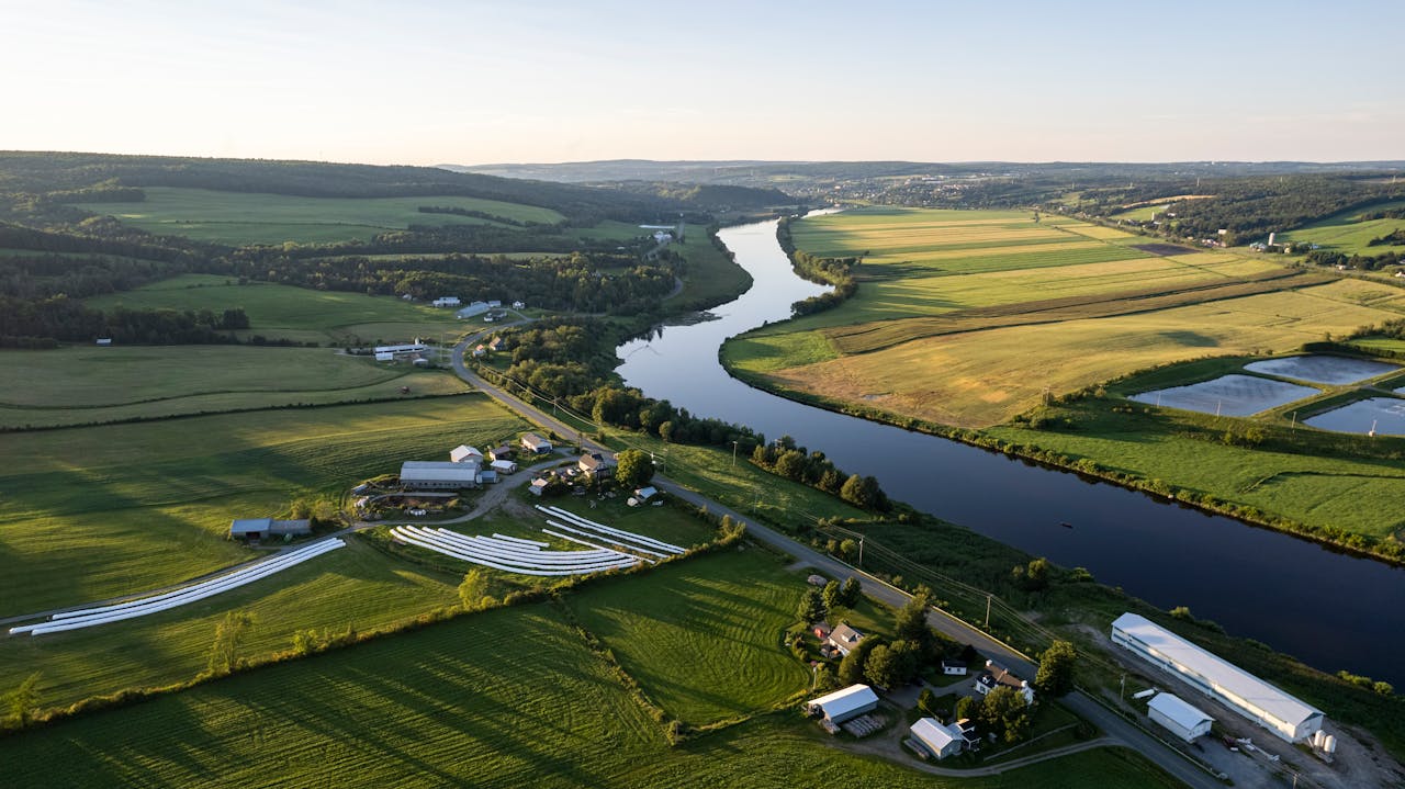
Agriculture
Monitor crop health, assess field conditions, and optimize yields with detailed aerial imagery and data analysis. Our drone mapping solutions help farmers make smarter, more sustainable decisions from planting to harvest.
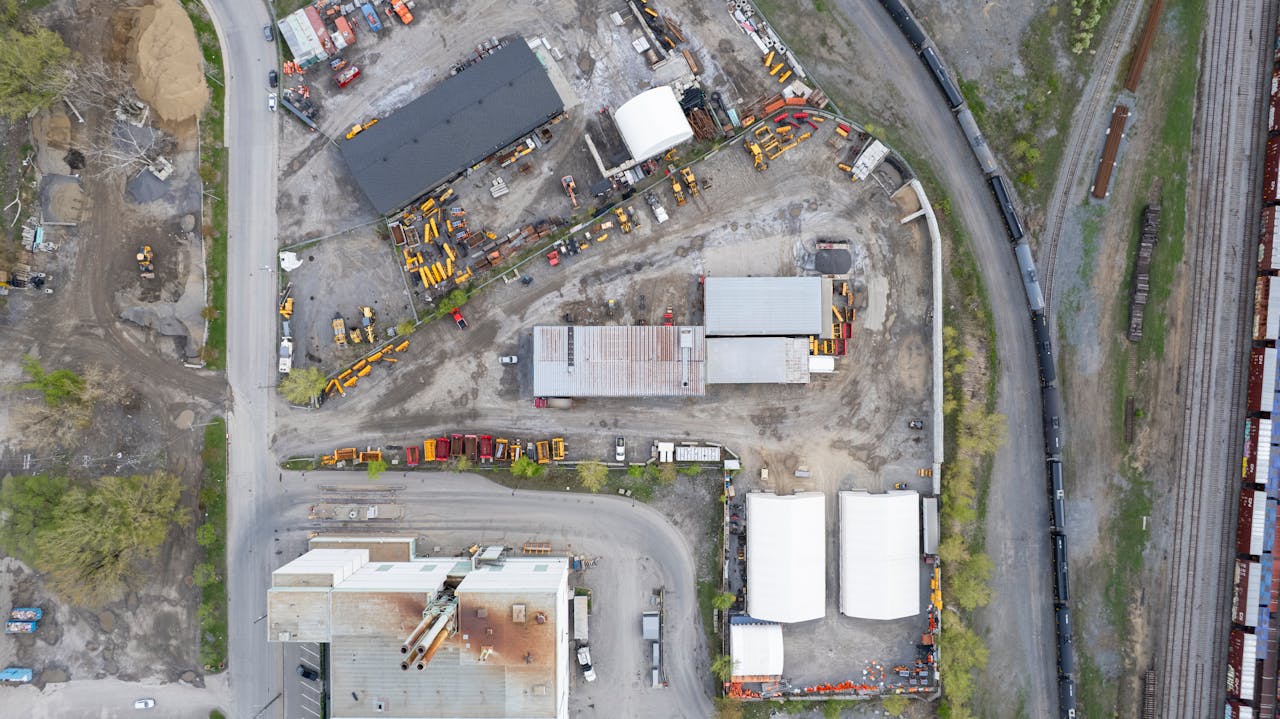
Construction
Track progress, document milestones, and inspect worksites with precision aerial mapping and 3D modeling. We deliver the insights you need to stay on schedule, improve safety, and reduce costly rework.
Mining
Gain a clearer view of your operation with accurate volumetric measurements, site mapping, and terrain models. Our drone data helps mining teams improve efficiency, monitor change, and ensure safety across every stage of production.
Preservation
Capture detailed 3D models and high-resolution imagery of heritage structures and sites. Our photogrammetry services help preservation teams document, study, and protect Canada’s historical landmarks for future generations.